[CASE MAP] MAP OF LONG ISLAND
New York: G. W. & C. B. Colton, 1886. A smaller version of Colton’s “New Map of Long Island” issued in 1882. This edition 9” x 22”, folding into brown embossed cloth covers with titling in gold. The map is.....
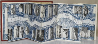
Koln: H. Siebenhar, c, 1900. Perhaps from the turn of the century, a Rheinpanorama, printed in blue with black and white, postcard-like photographic images of sites along the course of the Rhine. The Rhine Valley was a tourist mecca, and.....
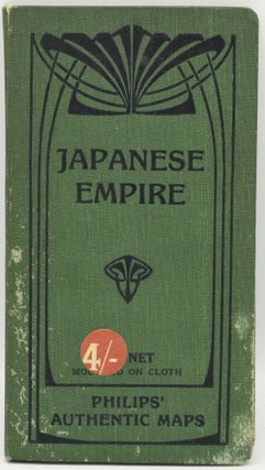
London: G. Philip & Son, Ltd. Hard Cover. Folding map covered by green cloth folder. Undated, but circa 1910. Some spotting on boards.
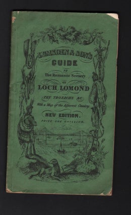
Glascow and London: James Lumsden and Son, 1849. Original Wrappers. Sixth edition, revised and enlarged. Very scarce in the original green wrappers which are quite fragile; the front panel is detached; folding frontispiece map present; Original Wrappers.
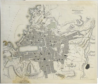
London: Baldwin & Cradock, c. 1830. A colored map of Marseille. Measuring about 14 x 16.5 in.
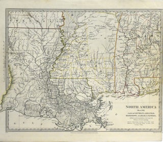
London: Baldwin & Cradock, c. 1830. A map of a few of the southern states, mainly Louisiana, Mississippi, and Alabama, with hand colored borders. Measuring about 14 x 16.5 in.
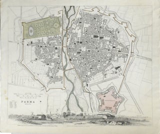
London: Baldwin & Cradock, c. 1830. A map of the fortified city of Parma. Measuring about 14 x 16.5 in.
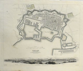
London: Baldwin & Cradock, c. 1830. A map of the city of Toulon, with an engraved panoramic view of the city at the bottom edge. Measuring about 14 x 16.5 in.
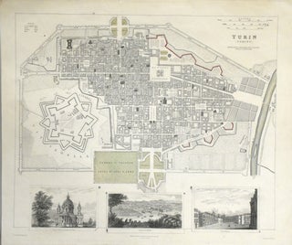
London: Baldwin & Cradock, c. 1830. A map of the city of Turin, with three engraved views of the city at the bottom edge. Measuring about 14 x 16.5 in.
Edinburgh & London: W. & A. K. Johnston. Soft Cover. Large folding map dissected in 9 parts backed in linen, with the topography of the country shown by various colors. The colors are bright, in aquamarine, greens, peaches and reds.....
New York: Rand-McNally, 1903. 19.25 x 26”; folding map; with a couple of small chips -- one to the top and the other to the bottom edge, neither affecting text or map; with an inset detailed “Map of the Valley.....
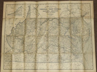
Baltimore: The Bullard Company, c. 1912. Folding map of the Middle Atlantic states, about 34 x 44”, printed in blue and white. Very detailed, with index of cities, towns and villages with population from the census of 1910. on the.....
Exeter: Henry Besley, circa 1850. Hard Cover. A New Edition. Original cloth with gilt decoration. Four folding maps or plans as called for, plus an additional folding plan of Torquay; illustrated with 26 steel engraved plates in vignette. Some moderate.....
[Chicago]: [W. B. Conkey Company], [1894]. Oblong Quarto. Half Leather. Bound without title page, presumably because this photographic travelogue was issued without parts. A bespoke binding, in half-morocco over brown pebbled cloth. With the owner’s name stamped on the spine.....
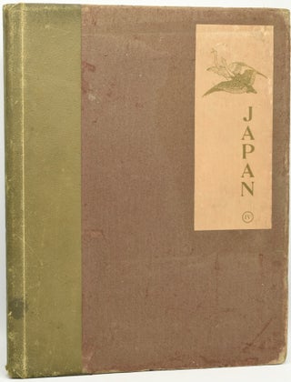
J. B. Millet Company, [1897]. Folio. Hard Cover. Limited “Tokyo” Edition. Volume IV only of a ten volume set. Japan, published by the J. B. Millet Company, with descriptions of Japanese history, society, everyday street scenes, and other commentaries. The.....
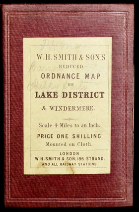
W. H. Smith & Son, c, 1880. Folded map in cloth case, with pastedown. Pastedowns inside with advertisements of Smith’s tourist maps & plans of England and of London as well. Colored dissected map, mounted on linen. Minor foxing. 14.....
Philadelphia: J. B. Lippincott & Co., 1858. Half Leather. First published in 1857, quite a good travel chronicle by Alexander Habersham detailing his observations while on duty as a lietenant with a US surveying and exploring expedition to the North.....
Philadelphia: Samuel F. Bradford, ca. 1820. Quarto. Half Leather. First American Edition. The maps have been collated against the index: there are 60 folding, or double-page maps (lacking only 1--the map of The United States), 1 single cartographic “plate” and.....
Philadelphia: Bowen & Co’s Lith. 1809. A trimmed early map of Mount Dearborn in South Carolina, with hand coloring in outline. Showing the Quarters and Barracks; the Arsenal; Powder Magazine; Artillery Shed; Huts for Labourers; Brick Kiln & Yard; Blacksmith.....
New York: Geographia Map Company, 1940’s. A World War II era map of the Pacific Theater, with an ancillary map on the the verso, “Map of the World, on Mercator’s Projection”. 64 x 99 cm., folded to 23 x 21.....
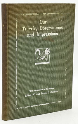
New York: Appeal Printing Co., [1914]. Hard Cover. Green cloth binding, with stamping in white to the upper board. Mrs. Cochran’s name signed on a laid in card. 182 pp. Octavo. We find two copies on OCLC.~~Privately printed travel narrative.....
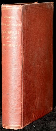
Boston: Congregational Publishing Society, 1870. Hard Cover. Frontispiece; Previous owner's bookplate attached to front paste-down. Frontispiece and map present. No pencil or ink markings in text. Brown cloth binding with gilt lettering on spine.
Boston: The Page Company, 1919. Hard Cover. First Edition. 8vo. (8 1/8” x 6 3/4”); in the published decorative cloth binding, with dustjacket; there is some minor toning to the pictorial endpapers but no ownership marks of any kind; dark.....
Paris: [Au Bon Marche], [1910]. Hard Cover. 8vo.; in publisher’s flexible boards; 36 pages, with large folding plan (52 cm x 68 cm) of Paris des Magasins du Bon Marche, at the rear; with an insert image “Vue Generale des.....
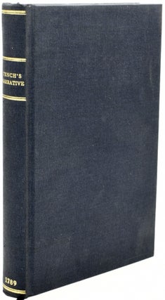
Melbourne: Editions Renard, 2004. Hard Cover. Facsimile Reprint. Facsimile type reprint of the first edition, first published in 1789 for J. Debrett. Reproducing one color portrait, one map,two views, and the original title page. With no marks. Blue cloth with.....